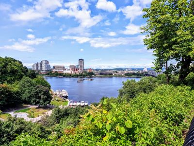
Ottawa is unusually good for birdwatching because it compresses river, bog, marsh, forest, farmland, quarry pond, and escarpment habitat into a one-hour radius of Parliament Hill. The best location depends less on the prettiest trail and more on the season, wind, water level, and how much patience you have for distant birds.
Last Updated: May 2026
 Mud Lake, Mer Bleue Bog, Shirley’s Bay, and Gatineau Park anchor Ottawa’s strongest birdwatching sites — habitat diversity within a one-hour drive.
This guide covers 15 birdwatching locations across Ottawa-Gatineau and nearby Lanark County. It is built from the Ottawa Field-Naturalists’ Club birding-location guide, eBird hotspot pages, official NCC and park pages, and accessible local discussion sources. The OFNC guide is especially useful because it organizes Ottawa birding by biological seasons: winter from late November to early March, spring migration from mid-March to early June, summer nesting from mid-June to early August, and fall migration from mid-August to mid-November. Transit notes are planning guidance only; the OFNC explicitly warns that a public-transit “Y” does not mean convenient or quick, and route details should be confirmed with OC Transpo on the day you travel.
Best Ottawa Birdwatching by Need
| Need | Best picks | Why |
|---|---|---|
| Best beginner birdwatching | Mud Lake, Jack Pine Trail, Petrie Island, Andrew Haydon Park | Short walks, obvious habitat, good odds of seeing birds without a scope |
| Best advanced birding | Shirley’s Bay, Britannia Point, rural east flooded fields, Almonte lagoons, Gatineau escarpment | Distant scans, weather timing, shorebird/gull/raptor identification |
| Best spring migration | Britannia/Mud Lake, Andrew Haydon/Dick Bell, Petrie Island, Rideau River corridor, Mer Bleue | Migrant traps, river corridor movement, wet woods, early waterfowl |
| Best fall migration | Britannia Point, Andrew Haydon mudflats, Shirley’s Bay, Almonte lagoons, Petrie Island | Shorebirds, gulls, waterfowl, warblers and late river movement |
| Best raptor watching | Gatineau Park/Eardley escarpment, rural east fields, Almonte-Lanark roads | Soaring visibility, open fields, escarpment lift and winter prey |
| Best winter birds | Stony Swamp, Mer Bleue/Dolman Ridge, Rideau River open water, Hog’s Back, Britannia Point | Feeders, conifer habitat, winter finches, open water and ducks |
| Best photography | Mud Lake, Britannia pier, Andrew Haydon, Petrie Island, Jack Pine Trail | Closer subjects, water reflections, boardwalk edges and approachable common birds |
| Best Quebec-side options | Gatineau Park, Lac Leamy, Deschenes Rapids/Aylmer, Moore Farm, Boucher Forest | Forest, river, wetland and escarpment alternatives within the same metro area |
Birding Etiquette and Gear
Bring 8x or 10x binoculars, a field notebook or eBird checklist, Merlin Bird ID for calls, sun protection, bug spray, water, a small first-aid kit, and footwear that can handle mud. A spotting scope is useful at Andrew Haydon, Britannia Point, Shirley’s Bay, Almonte lagoons, and Gatineau escarpment roads because many of the best birds are far across water or fields. The official eBird app is best for checklists and hotspot history, while Merlin Bird ID is the easiest beginner app for sound and photo identification. Use playback sparingly and avoid it near nesting birds. Stay on official trails at fragile sites such as Mud Lake, where the NCC specifically prohibits dogs, cycling, feeding wildlife, and off-trail walking to protect the wetland.
For community learning, start with the Ottawa Field-Naturalists’ Club and its birding in the Ottawa area resources. For real-time planning, check the eBird hotspot map, recent checklists, and the OFNC location guide. For local chatter, r/ottawa threads are useful for general recommendations, but they are uneven as evidence; use them for atmosphere, not rare-bird confirmation.
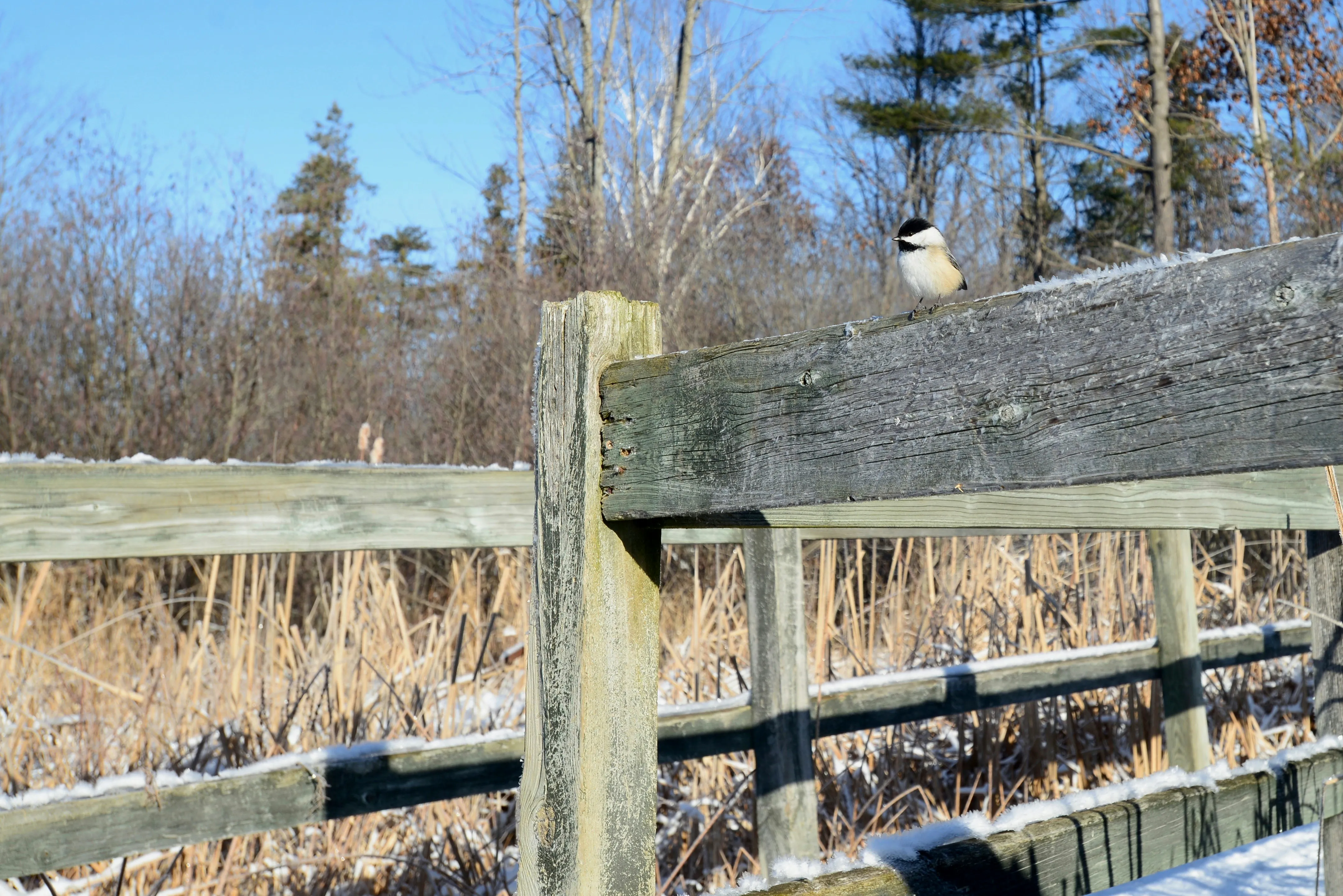
1. Mer Bleue Bog Conservation Area
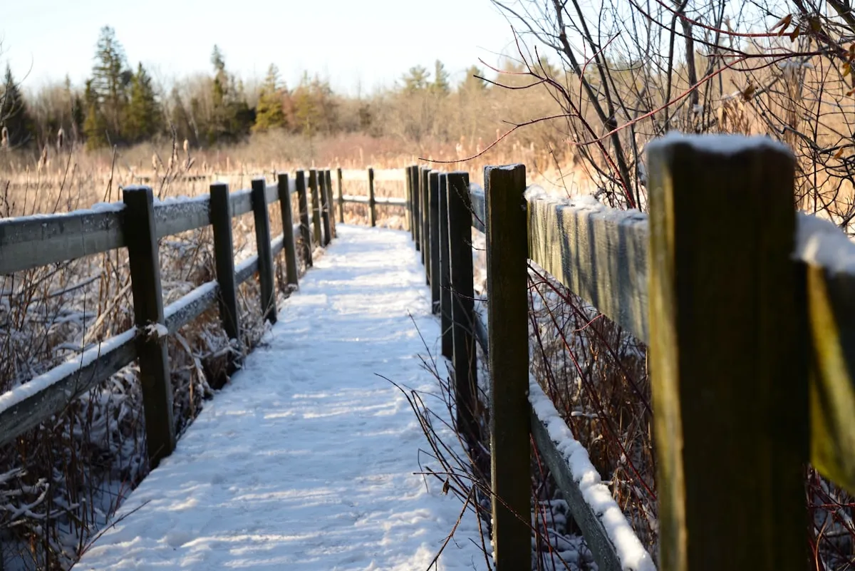 Mer Bleue Bog’s boardwalk crosses peat bog habitat where bog-specialist birds and warblers concentrate seasonally.
Full name and address: Mer Bleue Bog Trail, NCC parking lot P22, Ridge Road, Ottawa, ON. Best access: P22 for the boardwalk; P21/P23 and Dolman Ridge Road for longer birding. Difficulty: Easy on the boardwalk, moderate if you add forest roads. OC Transpo: Not practical for most visitors.
Mer Bleue feels different from almost every other Ottawa birding site. The main boardwalk takes you into a peat-bog landscape that looks more northern than suburban, and the surrounding forest, marsh and meadow edges make it a good place to listen slowly rather than rush. The NCC describes the Mer Bleue Bog Trail as a gentle loop in the southeastern Greenbelt, starting at P22 and following stone dust down to a wooden boardwalk; the official trail length is 1.36 km, with accessible parking, accessible washrooms, benches and accessible picnic tables listed for the site (NCC Mer Bleue Bog Trail). The NCC accessibility notes also warn that the boardwalk has limited railings, narrow passing sections and one steeper side-slope area, so wheelchair and stroller users should treat it as accessible-but-not-frictionless rather than perfectly barrier-free.
For birds, Mer Bleue is strongest in spring, summer breeding season and winter. OFNC lists the eBird hotspot for Mer Bleue Bog as winter, spring and summer habitat, with peat bog, wetland, forest and feeder context (OFNC; eBird Mer Bleue Bog). The local standout is habitat specialization: OFNC calls it “the only spot” in the region with nesting Lincoln’s Sparrow and Palm Warbler. Expect Swamp Sparrow, Common Yellowthroat, Alder Flycatcher, Tree Swallow, woodpeckers, chickadees, winter finches in good irruption years, and raptors over open edges. Go early morning from late April through June for song, or a clear cold winter morning if you are trying for boreal-feeling finches and woodpeckers.
Photography is best on the boardwalk at sunrise or on overcast mornings, when open bog light is even and birds perch at eye level on tamarack, spruce and shrub edges. Honest negatives: mosquitoes and deer flies can be fierce, shade is limited on the bog, parking fills on beautiful weekends, and serious birding beyond the boardwalk requires more walking than the family loop suggests. Local source excerpts: OFNC says the site gives access to “a peat bog”; NCC calls it “popular with families”; eBird’s hotspot page currently has “Nothing added yet” under plan-your-visit, so use OFNC and NCC for practical detail.
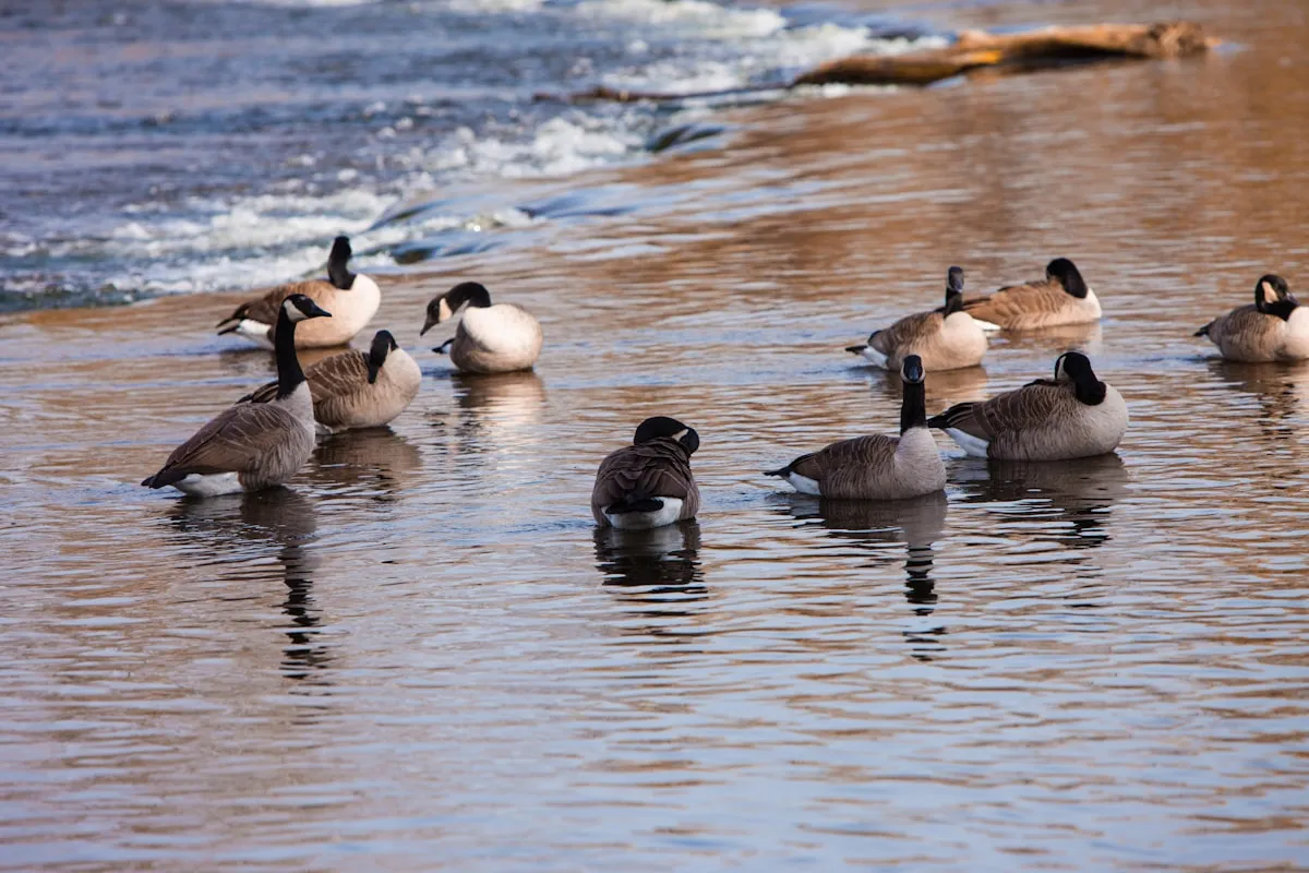
2. Britannia Conservation Area and Ottawa River Shores
 Britannia Conservation Area along the Ottawa River shore is one of the most productive Ottawa birding spots year-round.
Full name and address: Britannia Conservation Area, Cassels Street and Britannia Park area, Ottawa, ON. Best access: Cassels Street for Mud Lake and the ridge; Britannia Park/Lakeside Gardens for the pier and river. Difficulty: Easy to moderate. OC Transpo: OFNC marks the area public-transit accessible; eBird’s Britannia page cites OC Transpo Route 16, but verify current routing.
Britannia is the classic Ottawa birding ecosystem: wooded migrant trap, Mud Lake pond, Ottawa River shoreline, rapids, gull viewpoints, old pines, photographers, dog walkers outside the restricted area, and birders quietly scanning every branch in May. OFNC calls the broader Britannia Conservation Area the busiest single birding spot in the region and says it can be “swarming with birders, photographers, and families” during spring and fall migration (OFNC). eBird’s Britannia CA page says the site is one of Ottawa’s most popular birding places, especially during migration, and notes that binoculars are enough for the woods while a scope helps at the Ottawa River and Mud Lake (eBird Britannia CA).
The best seasons are spring and fall migration, with winter value on the river. Start on Cassels Street at first light, bird the ridge north of the road, then cross into the woods around Mud Lake. OFNC notes thrushes, vireos, warblers and sparrows on the ridge and says many migrants arrive early and circulate through the conservation area toward the river. Notable species include Wood Duck, Brown Creeper, Pine Warbler, Merlin, Cooper’s Hawk, many warbler species in migration, gulls and terns at Britannia Point, ducks on the river, herons around Mud Lake, and occasional rarities. Britannia Point is the advanced-birder add-on: OFNC says 19 of Ottawa’s 21 gull and tern species have been sighted there and that Arctic Tern occurs annually at that point in late May and early June under the right conditions.
Parking is on Cassels Street, at the small lot near the water purification plant, and in Britannia Park, but hot migration days fill quickly. Trails are informal in places and can be muddy; there are no washrooms at Mud Lake itself according to the NCC Mud Lake page, so use Britannia Park facilities before entering the woods (NCC Mud Lake). Photography is excellent for Wood Duck, warblers, owls when ethically viewed at distance, and river gulls. Negatives: crowds, fragile habitat, trail braiding, ticks, no dogs or bikes in Mud Lake, and occasional tension between photographers and birders when people crowd a subject. Source excerpts: OFNC says “near perfect”; eBird says “spotting scope useful”; NCC says Mud Lake is a “major migratory corridor.”
3. Mud Lake and Britannia Pier
 Mud Lake is Ottawa’s premier urban birding location — easy trails plus high species diversity in spring migration.
Full name and address: Mud Lake, off Cassels Street, Britannia, Ottawa, ON; Britannia Pier/Lakeside Gardens, Britannia Park, Ottawa, ON. Best access: Cassels Street for Mud Lake; Britannia Park for the pier. Difficulty: Easy walking, but careful footing after rain. OC Transpo: Transit possible to Britannia/Carling-area stops; verify with OC Transpo.
Mud Lake deserves its own entry even though it sits inside the Britannia system because it is the premier urban birding stop for beginners. It is small enough to understand in one visit, productive enough to reward a 30-minute walk, and close enough to the city that people bring serious camera lenses on a weekday morning before work. The NCC identifies Mud Lake as a provincially significant wetland and an Area of Natural and Scientific Interest, and says it is one of the most popular urban birdwatching sites in Canada (NCC Mud Lake). The same NCC page lists 269 bird species for Mud Lake and emphasizes that visitors must stay on official trails, avoid feeding animals and keep dogs and bikes out.
Best season is late April through May for warblers, vireos, thrushes and breeding activity, then late August through October for fall migrants and waterfowl. Winter can still be good around nearby open river water, but the Mud Lake trails themselves are quieter. Best time of day is early morning, especially the first two hours after sunrise when songbirds are moving and light reaches the trail edges. Trails are mostly flat but rooty, narrow and informal in places; accessibility is therefore much weaker than the distance suggests. Parking is the practical constraint: on-street Cassels parking and the small lot before the purification plant can be full.
The pier is the scope-and-wind counterpart to the intimate lake. OFNC describes Britannia Pier as a stone spit extending about 200 metres into the Ottawa River and says migration along the river can produce fleeting rarity opportunities, especially during unsettled weather. Photographers should use Mud Lake for closer birds and the pier for waterbird silhouettes, gulls, terns and weather drama. Honest negatives: summer mosquitoes, ticks, no washrooms at Mud Lake, slippery roots, crowded trails in May, and too many people feeding wildlife despite posted ethics. Source excerpts: NCC says “Dogs and other pets are not allowed”; OFNC says “best places to start your birding day”; eBird says Britannia is “especially” good in migration.
4. Andrew Haydon Park and Dick Bell Park
 Andrew Haydon Park and Dick Bell Park combine river-shore birding with sunset views and wide accessibility paths.
Full name and address: Andrew Haydon Park, 3169 Carling Avenue, Ottawa, ON; Dick Bell Park, 3259 Carling Avenue, Nepean, ON. Best access: Carling Avenue parking lots, marina-area paths, and river lookouts. Difficulty: Easy. OC Transpo: Carling Avenue bus access; OFNC marks Andrew Haydon/Dick Bell public-transit accessible.
Andrew Haydon and Dick Bell are the west-end river parks you choose when you want waterbirds, shorebird potential, sunset light and enough paved walking to make the outing comfortable. They are less enclosed than Mud Lake and less forest-rich than Britannia, so the birding style is different: scan the river, check the Graham Creek mouth, watch the pond, look along the shoreline for exposed mud, then keep moving. OFNC treats Britannia Pier, Andrew Haydon Park, Andrew Haydon Park East and Dick Bell Park together because the main attraction is viewing birds on or over the Ottawa River (OFNC). eBird’s Andrew Haydon page says a scope is recommended for waterbirds and describes the walking as very easy and wheelchair accessible (eBird Andrew Haydon Park).
Spring and fall are best. OFNC notes that shorebird habitat appears at Andrew Haydon East when Ottawa River levels are sufficiently low, especially on mudflats near Graham Creek. In spring, ducks and other waterbirds are strongest from breakup into early June, with late April and early May often best for numbers and diversity. In fall, shorebirds begin returning in mid-July, peak roughly mid-August to mid-September, and mostly disappear by mid-October, while ducks build again from mid-September to freeze-up. Notable birds include gulls, terns, scaup, mergansers, grebes, herons, sandpipers, plovers, raptors passing the river edge, and migrant songbirds in the narrow woodlots.
Parking is easier than at Mud Lake, though lots can still be busy at sunset, during events and on warm weekends. Trails are paved or maintained through much of Andrew Haydon, which makes it one of the better choices for strollers and mobility-limited birders. Photography is strong for water-level compositions, Great Blue Heron, gull flocks, ducks, and backlit evening flight shots. Honest negatives: wind exposure, distant birds without a scope, unpredictable river levels, cyclists and joggers on shared paths, and harsh midday light over open water. Source excerpts: eBird says “A scope is recommended”; OFNC says “excellent viewing conditions”; OFNC also warns rarity opportunities are often “fleeting.”
5. Petrie Island
 Petrie Island in Orleans offers east-end river-mouth habitat with strong migration potential — bring bug spray.
Full name and address: Petrie Island Park, Trim Road at the Ottawa River, Orléans, Ottawa, ON. Best access: Petrie Island causeway, beach/visitor-centre area, and western trails. Difficulty: Easy to moderate. OC Transpo: OFNC marks Petrie Island public-transit accessible, but most birders will find driving or cycling easier.
Petrie Island is the east-end answer to the west-end river birding circuit. It is broader, marshier and more beach-influenced than Mud Lake, with a summer crowd that can make the place feel more like a recreation area than a birding hotspot. That is part of its identity. You can see families headed to the beach, cyclists using the causeway, birders scanning marsh edges, and photographers waiting for herons or swallows from the same general landscape. OFNC groups Petrie Island with Champlain Street Marsh because the extensive marsh from Bilberry Drive to Petrie is the main attraction, and says the woods bordering the Ottawa River can be excellent in migration (OFNC; eBird Petrie Island).
Best seasons are spring, summer and fall. In spring, flooding can make some areas less comfortable, but the birds still move through. Summer is good for marsh birds, swallows, herons, orioles, flycatchers, Yellow Warbler, Common Yellowthroat and breeding wetland species. Fall can be excellent for songbird migration and shorebirds when river levels expose mud west of the causeway. OFNC specifically notes that the beach can attract shorebirds before it gets too crowded, and that the best marsh view on Petrie is west from the causeway when water levels are low.
Parking is straightforward by Ottawa standards but not always free in the most convenient beach lots; OFNC notes free parking just north over the bridge and paid parking closer to the beach and visitor centre. Trails around the bridge woods and westward along the island give several hours of birding if you take your time. Photography is best from the causeway, marsh edges and quiet trails before the beach crowd builds. Honest negatives: summer parking pressure, beach noise, mosquitoes, exposed sun, flooding in spring, and fewer abundant waterbirds than the west-end Ottawa River hotspots. Source excerpts: OFNC says “excellent for fall songbird migration”; OFNC says the causeway view is best when “water levels are low”; eBird’s Petrie page currently says “Nothing added yet,” so use OFNC for birding strategy.
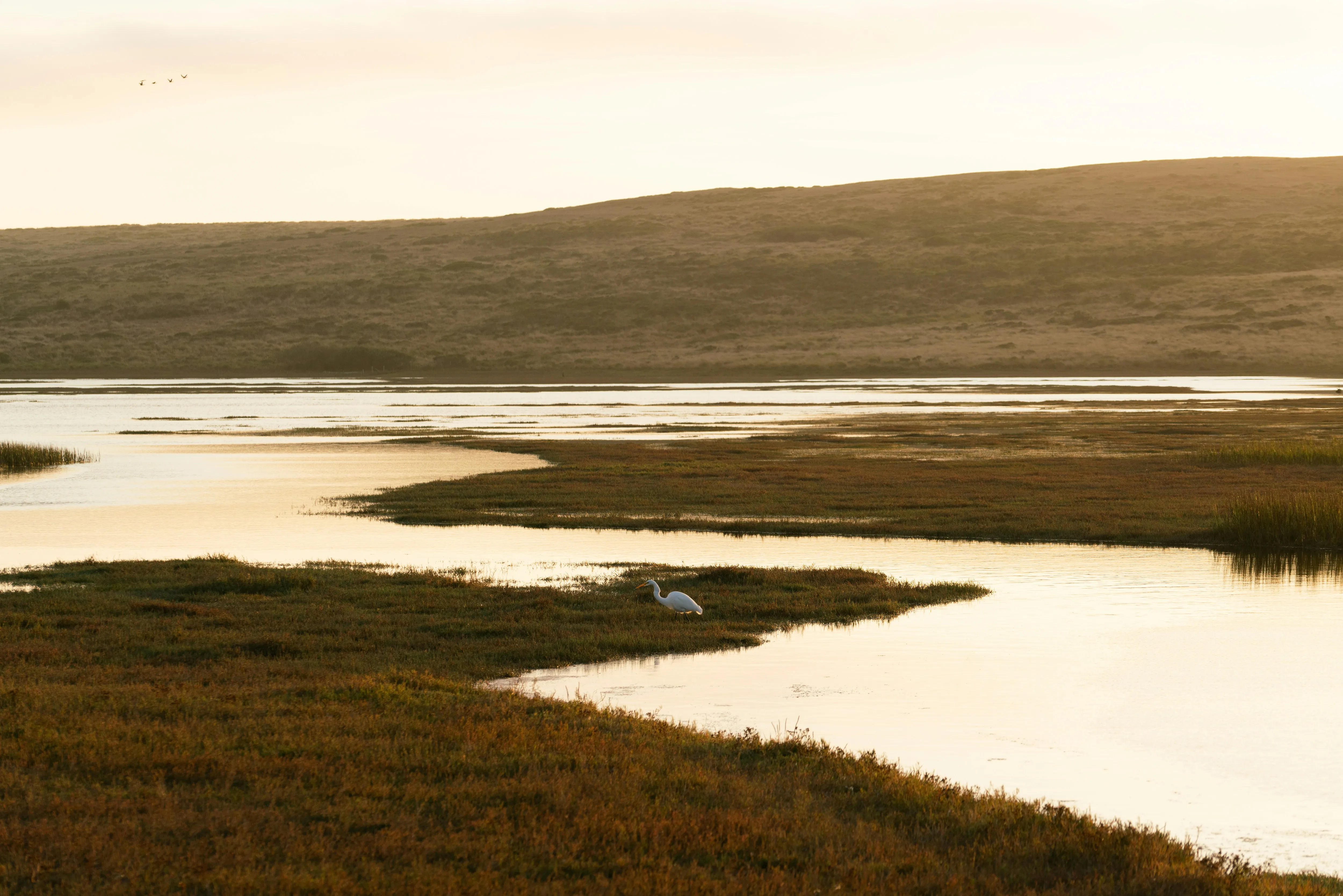
6. Shirley’s Bay
 Shirley’s Bay is the western Ottawa shore birding spot — Ottawa Field-Naturalists site with permit access.
Full name and address: Shirleys Bay, NCC Greenbelt P1/P2/P3 parking areas, Rifle Road and Carling Avenue area, Ottawa, ON. Best access: P1 for Shoreline Trail and boat launch; P2 for Trail 10; P3 for Trail 12. Difficulty: Easy on pathways, moderate on natural trails. OC Transpo: Limited; driving is the normal plan.
Shirley’s Bay is where Ottawa birding becomes more serious. It can be quiet and beautiful, but the best birds are often distant, the most productive restricted causeway access has changed over time, and a scope matters. The NCC describes Shirleys Bay as an internationally significant conservation area on the Ottawa River, with wetland features along the shore and inland wetlands that support wildlife habitat (NCC Shirleys Bay). The same NCC page lists free year-round parking at P1, P2 and P3, outhouses at P1, picnic areas at P1, seven kilometres of trails, and universal accessibility on the Watts Creek, Greenbelt Pathway West and Ottawa River Pathway, while natural trails do not meet universal accessibility standards.
For birds, OFNC is blunt: it says Shirley’s Bay is the best regional spot for concentrations of waterbirds, often the best for shorebirds, and sometimes excellent for migrant songbirds (OFNC; eBird Shirleys Bay). The public boat launch is always worth a quick scan, but OFNC also explains that many of the best inner-bay and mudflat views were historically from a DND causeway near an active rifle range. The article currently states that the DND property at Shirley’s Bay is restricted to official business only; do not assume access without a current official arrangement.
Best seasons are spring, summer and fall, with fall especially important for shorebirds and waterfowl. Expect ducks, geese, loons, grebes, Bald Eagle, shorebirds, herons, gulls, swallows, sparrows and migrant warblers. Best time of day is early morning for songbirds and any time with good light/wind for water scans; afternoon can be useful when the sun angle improves over some water. Photography is mixed: scenic river and sunset images are easy, but bird photos often require long lenses because subjects are distant. Honest negatives: restricted access, rougher trails, ticks, mosquitoes, few facilities, and frustration if you arrive without a scope. Source excerpts: NCC says “popular destination for observing shorebirds”; OFNC says “good scope is a must”; OFNC says the public boat launch “can be dead or excellent.”
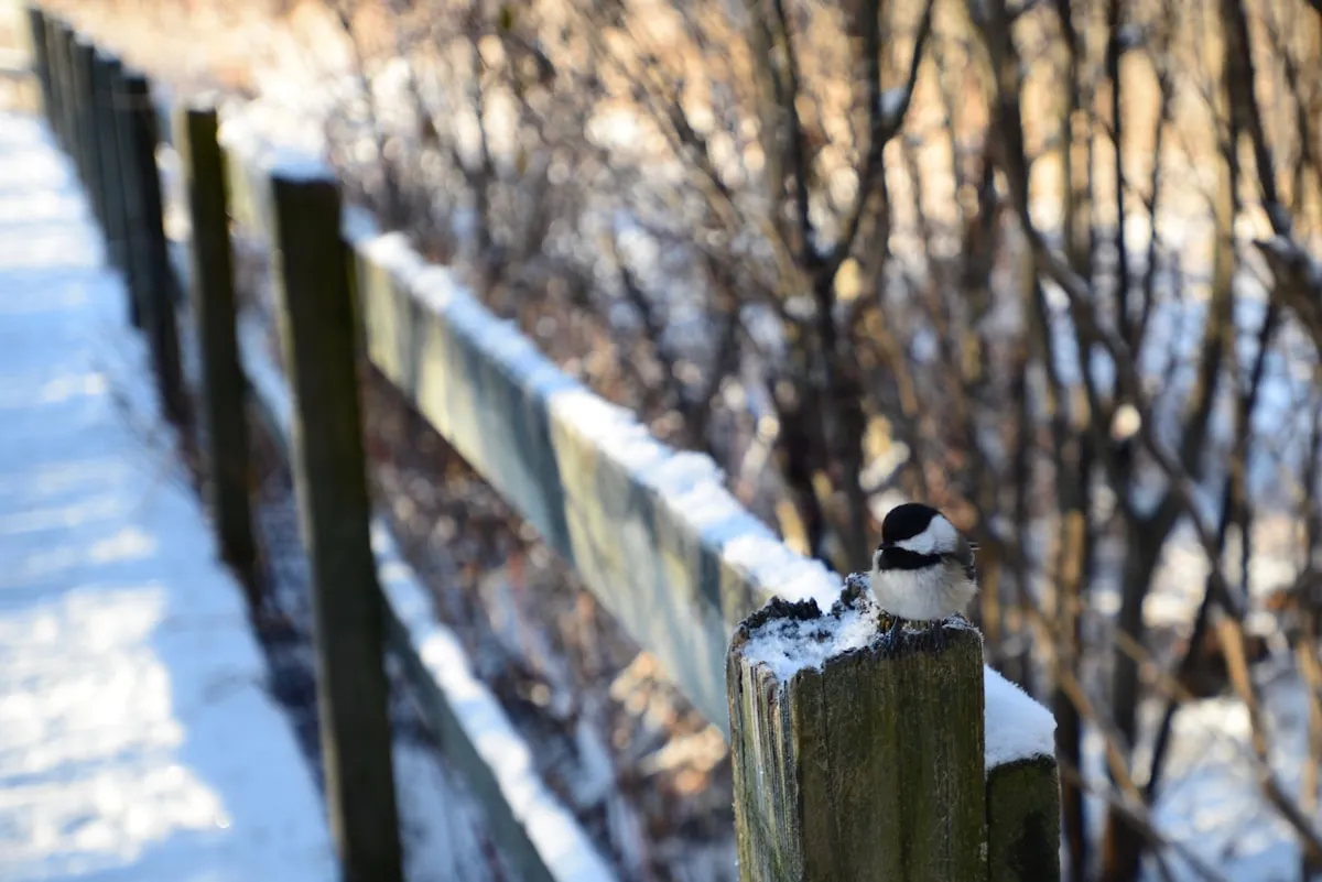
7. Stony Swamp Conservation Area
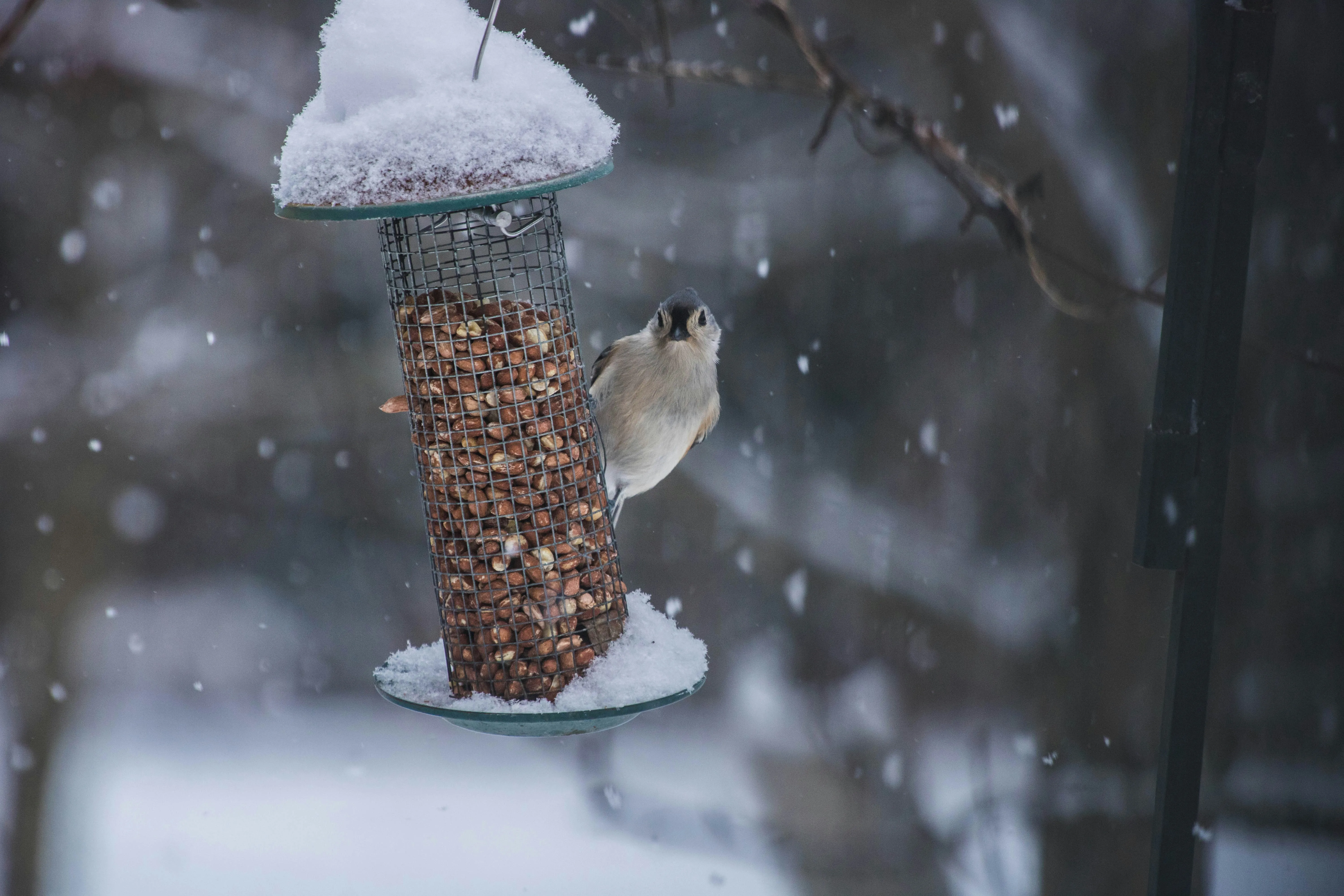 Stony Swamp Conservation Area provides forest and wetland habitat with a strong winter feeder station.
Full name and address: Stony Swamp, NCC Greenbelt southwest Ottawa; main birding access includes Jack Pine Trail at P9 on Moodie Drive and Sarsaparilla Trail off Richmond Road. Difficulty: Easy to moderate. OC Transpo: OFNC marks Jack Pine and Sarsaparilla public-transit accessible, but check current trip time.
Stony Swamp is Ottawa’s best all-purpose Greenbelt forest birding area for people who do not want to drive far into rural Ontario. It is not one trail; it is a whole sector of beaver ponds, wetlands, mixed forest, old quarry habitat and feeder stops. The NCC says Stony Swamp has more than 40 kilometres of trails and is the most ecologically diverse protected area in the Ottawa Valley, with free year-round parking at P4 through P13, outhouses at several lots, and picnic areas at P9 and P7 (NCC Stony Swamp). It also warns that the trails do not meet universal accessibility standards and that dogs are not permitted on Old Quarry, Sarsaparilla, Beaver and Jack Pine trails for conservation reasons.
The best beginner route is Jack Pine Trail. NCC describes it as three loops of 0.7 km, 1.7 km and 2.3 km with interpretation panels, free year-round P9 parking, two universally accessible outhouses, and no universal trail-accessibility standard (NCC Jack Pine Trail). OFNC lists Jack Pine and Sarsaparilla as winter and summer hotspots with conifer, wetland and feeder habitat, and says Stony Swamp is strong for winter birds, nesting birds and diversity across mixed forest, marshes and open ponds (OFNC; eBird Jack Pine Trail).
Notable species include Black-backed Woodpecker in good years, Bohemian Waxwing, winter finches, Marsh Wren, bitterns, Broad-winged Hawk, Red-shouldered Hawk, Northern Goshawk, Eastern Towhee at Jack Pine, ducks at Sarsaparilla and chickadees at feeder areas. Go early in winter for quiet and tracks, late May/June for breeding song, and October/November for finch movement. Photography is good for tame chickadees, woodpeckers, pond edges and snow scenes, but avoid feeding wildlife for photos unless it is within posted/accepted feeder infrastructure. Negatives: weekend family crowds at Jack Pine, icy boardwalks, muddy spring trails, mosquitoes, and limited accessibility. Source excerpts: NCC says “over 40 kilometres”; OFNC says “winter birds”; OFNC says early mornings are best to avoid “crowds and noise.”
8. Wesley Clover Parks and Watts Creek Area
 Wesley Clover Parks and Watts Creek combine sport facility lands with wetland and meadow habitat for grassland species.
Full name and address: Wesley Clover Parks, 401 Corkstown Road, Ottawa, ON. Best access: Wesley Clover Parks lots, Watts Creek Pathway, nearby Greenbelt connectors. Difficulty: Easy to moderate. OC Transpo: Possible from west-end routes but not as simple as inner-city sites.
Wesley Clover Parks is not a famous single eBird pilgrimage site in the way Mud Lake is, but it is useful because it sits in the National Capital Greenbelt near Watts Creek, Nortel Marsh, Shirleys Bay and Stony Swamp. The official Wesley Clover Parks site describes the property as a four-season outdoor recreation and learning hub in the Greenbelt, with equestrian sport, camping, skiing, soccer, mountain biking and community programming (Wesley Clover Parks). For birders, that means the atmosphere is mixed: horse trailers, event users, campers, skiers, trail users and nature walkers all sharing a greenbelt edge rather than a quiet bird sanctuary.
The birding move is to treat Wesley Clover as a base or add-on, not the only destination. OFNC lists Watts Creek and Nortel Marsh nearby as spring, summer and fall walking-route hotspots with open woodland, wetland and grass/open habitat (OFNC). Combine Wesley Clover with the Watts Creek Pathway when you want songbirds, sparrows, blackbirds, swallows, woodpeckers, raptors over open areas, and wetland species around marshier patches. Spring and early summer mornings are best for song and territorial activity; fall is better for sparrows and mixed flocks.
Parking depends on Wesley Clover event operations, so check the park’s current instructions if an equestrian tournament or festival is scheduled. Trails and pathways vary from paved multi-use routes to natural edges; accessibility depends on exactly which path you choose. Photography is best for environmental bird shots, raptors over fields, swallows, and quiet edges rather than tight portraits of rarities. Honest negatives: event traffic, less obvious birding structure for beginners, possible trail conflicts with bikes/skis/horses, and variable noise. Source excerpts: Wesley Clover calls itself a “four-season community hub”; OFNC lists Watts Creek as “sp, su, fa”; OFNC lists nearby Nortel Marsh as “Wet, Grass, open.”
9. Strathmere Area and Rural East Ontario Fields
 Strathmere area and rural east Ontario fields host Bobolinks, Eastern Meadowlarks, and grassland sparrows in breeding season.
Full name and address: Strathmere, 1980 Phelan Road West, North Gower, Ottawa, ON, as a rural south-Ottawa landmark; for rural east birding, use public-road scanning around Milton Road, Frank Kenny Road and Smith Road east of Ottawa. Difficulty: Easy from roads, advanced for identification. OC Transpo: Not practical.
The user-requested label mixes two different geographies: Strathmere is south of Ottawa near North Gower, while OFNC’s classic spring flooded-field routes are east and southeast of Ottawa around Milton, Frank Kenny, Smith, Giroux and Bourget-Cobb’s Lake Creek. For a birdwatching guide, the useful concept is rural-road birding: you are not going for trails, benches or washrooms; you are going for temporary water, open fields, geese, cranes, raptors and short-lived spring conditions. This is advanced not because the walking is hard, but because the birds can be distant, parking is limited, roads are busy and habitat can disappear within days as water levels change.
OFNC lists Milton Road, Frank Kenny Road and Smith Road as spring flooded-field/open driving-route hotspots, and says the Bearbrook Creek area can become a small lake for a few weeks as snow melts, attracting enormous numbers of geese and other waterfowl (OFNC; eBird Milton Road; eBird Frank Kenny Road; eBird Smith Road). Notable birds include Canada Goose, Snow Goose farther east, Tundra Swan, Greater White-fronted Goose, Sandhill Crane, Northern Harrier, Rough-legged Hawk, American Kestrel, Killdeer, blackbirds, Horned Lark and occasional rare geese.
Best season is early spring during melt and flooding; secondarily late fall and winter for open-field raptors and larks. Best time is early morning for cranes/geese in fields and late afternoon for raptors. There are no trails, no bathrooms and no formal birding parking. Pull fully off the road only where legal and safe, stay off private land, and do not block farm lanes. Photography is usually documentary unless you have a long lens and heat shimmer is low. Honest negatives: mud, traffic, no services, private-property boundaries, short windows, and the possibility that the “hot” flooded field is dry when you arrive. Source excerpts: OFNC says “enormous numbers of GEESE”; OFNC says “parking is only available at the sides”; OFNC says opportunities can be “very brief.”
10. Pakenham / Mill of Kintail Conservation Area
 Pakenham and the Mill of Kintail Conservation Area is the rural Lanark birding extension — old growth forest with mixed-species flocks.
Full name and address: Mill of Kintail Conservation Area, 2854 Ramsay Concession 8, Almonte, ON K0A 1A0. Best access: main conservation-area entrance and river trails. Difficulty: Easy to moderate. OC Transpo: None; drive from Ottawa.
There is no official site I could confirm under the exact name “Cottages of Pakenham conservation.” The closest strong birding match in the Pakenham/Almonte orbit is Mill of Kintail Conservation Area, which OFNC treats as a worthwhile hotspot west of Ottawa. It is a gentler, more atmospheric destination than the sewage-lagoon or road-shoulder birding nearby: old fields, forest, the Indian River, museum grounds, picnic clearings and enough trail structure to make it work for non-birding companions. It is also far enough from the city that the outing feels like a half-day escape rather than a quick urban checklist.
OFNC describes Mill of Kintail as a Mississippi Valley Conservation Area with 154 hectares of fields and forest, six kilometres of trails, the Indian River running through it, and parking at the entrance and near the R. Tait McKenzie and Dr. James Naismith museums (OFNC; eBird Mill of Kintail). Spring and fall are the best migration seasons, especially for warblers and flycatchers along the river trail and picnic-area edges. Summer is also useful for breeding forest birds.
Notable species include American Redstart, warblers, vireos, Great Crested Flycatcher, Least Flycatcher, Willow Flycatcher, Yellow-bellied Flycatcher, Olive-sided Flycatcher, Eastern Phoebe, Eastern Wood-Pewee, thrushes, Pileated Woodpecker, Scarlet Tanager, Red-eyed Vireo, White-breasted and Red-breasted Nuthatch, Red-tailed Hawk, Rough-legged Hawk, Broad-winged Hawk, Red-shouldered Hawk, Bald Eagle, Sandhill Crane in nearby fields, and Eastern Bluebird around boxes. Best time is early morning, especially along edges where river, field and forest meet. Photography is good for forest atmosphere, river perches and field-edge birds, but subjects can be high in the canopy. Negatives: distance from Ottawa, possible conservation-area fees, bugs, muddy sections, and fewer guaranteed close birds than Mud Lake. Source excerpts: OFNC says “6 kms of trails”; OFNC says “over 20 species of warblers and vireos”; OFNC notes “Occasional rarities” have appeared.
11. Gatineau Park Lookouts and Eardley Escarpment
 Gatineau Park lookouts and the Eardley Escarpment host raptor migration including eagles, hawks, and falcons.
Full name and address: Gatineau Park, Chelsea and Pontiac sectors, Quebec; key birding includes Champlain Lookout on Champlain Parkway and Eardley-Masham Road/Chemin Steele escarpment viewpoints. Difficulty: Easy at lookouts, advanced on rural escarpment roads. OC Transpo/STO: Possible to parts of Gatineau/Chelsea seasonally or with STO plus shuttle planning, but most birders drive.
Gatineau Park is the big Quebec-side option: not just a scenic lookout, but a huge conservation landscape with forest, lakes, cliffs, escarpment roads and northern-feeling habitat. The NCC describes Gatineau Park as the region’s conservation park, covering more than 361 square kilometres and containing rich biodiversity; it also warns that the southern sector often reaches capacity on weekends and perfect-weather days, causing full lots and intermittent road closures (NCC Gatineau Park). That matters for birding because a sunrise forest walk and a midday tourist lookout visit are completely different experiences.
OFNC lists Gatineau Park East, Champlain Lookout and Eardley-Masham Road as important birding areas, with Champlain Lookout tied to summer conifer/wetland habitat and Eardley-Masham especially interesting in winter and summer (OFNC; eBird Champlain Lookout; eBird Eardley-Masham). For raptor watching, the escarpment is the standout. OFNC recommends clear calm winter days from December to March for raptors soaring over the escarpment, with Golden Eagle most sought-after and Northern Goshawk also a target. In summer, the park is excellent for nesting forest birds and warblers, though many are heard more than seen.
Notable birds include Turkey Vulture, Bald Eagle, Golden Eagle, Northern Goshawk, Broad-winged Hawk, Pileated Woodpecker, Yellow-bellied Sapsucker, Winter Wren, Hermit Thrush, Blackburnian Warbler, Black-throated Green Warbler, Ovenbird, Scarlet Tanager, Common Raven and winter finches. Best time is early morning for forest song, late morning to midday for thermal raptors, and calm clear winter days for escarpment scanning. Photography is better for landscapes and flight silhouettes than close portraits. Negatives: road closures, paid/controlled parking in some seasons, crowds at famous lookouts, winter road conditions, and long distances between birding stops. Source excerpts: NCC says “361 square kilometres”; OFNC says “GOLDEN EAGLE” is the winter prize; OFNC says fall can be “quiet.”
12. Dock at Hog’s Back Falls
 Hog’s Back Falls dock provides urban-birding convenience — gulls, ducks, and resident species at the waterfall edge.
Full name and address: Hog’s Back Park, Hog’s Back Road at Riverside Drive, Ottawa, ON. Best access: NCC park lot, falls viewpoints, Rideau River edges and nearby Vincent Massey/Hog’s Back eBird hotspot. Difficulty: Easy. OC Transpo: Good relative to Greenbelt sites; use Riverside/Heron/Mooney’s Bay-area routes and verify current routing.
Hog’s Back is an urban birding stop, not a wilderness outing. The appeal is open water, moving water, gulls, ducks, herons, swallows, cormorants, park trees and the ability to combine a short birding scan with a walk, lunch or photography session. The NCC says Hog’s Back Park sits at the intersection of Hog’s Back Road and Riverside Drive and offers views of Hog’s Back Falls and the Rideau River, historical displays, a renovated heritage pavilion, washrooms from May to mid-October, free parking from May to December 1 weather permitting, and picnic tables (NCC Hog’s Back Park).
OFNC lists the Vincent Massey/Hog’s Back eBird hotspot as spring, fall and winter habitat with open woodland, wetland and unfrozen water (OFNC; eBird Vincent Massey/Hog’s Back). That unfrozen-water angle is the reason it belongs in a birding guide. In winter, any open Rideau River water can concentrate Mallard, Common Goldeneye, Common Merganser and gulls, with occasional surprises. During migration, the corridor can move warblers, kinglets, vireos and sparrows through park trees.
Best time is early morning for quieter paths and late afternoon for softer light on the falls. Trails and viewpoints are mostly easy, but winter ice and wet rocks can make the falls area hazardous. Parking is easier than downtown, though time limits apply and lots fill during peak park use. Photography is strong for gulls in flight, ducks against white water, Great Blue Heron, long-exposure falls, and urban-nature compositions. Honest negatives: traffic noise, crowds, construction or seasonal closures, slippery surfaces, and a lower species ceiling than Britannia or Shirley’s Bay. Source excerpts: NCC says “spectacular view”; OFNC lists “Unfrozen”; eBird’s hotspot page currently has “Nothing added yet,” so use OFNC/NCC for planning.
13. Almonte and Rural Lanark Birding
 Almonte and rural Lanark County offer farmland birding with grassland species and rural marsh habitat.
Full name and address: Almonte area birding, including Almonte Sewage Lagoon hotspot near Almonte, Burnt Lands Provincial Park near Ramsay/Almonte, and rural public roads in Lanark County. Difficulty: Easy physically, advanced technically. OC Transpo: None.
Almonte and rural Lanark are for birders who have already done Mud Lake and want more seasonal variety. The atmosphere changes: less boardwalk, more gravel shoulder, more scope work, more farm-country judgment, and more attention to whether a site is public, private or view-from-road only. OFNC lists Almonte Sewage Lagoon as a fall hotspot for ponds/open woodland, Burnt Lands as a spring/summer grassland and scrub hotspot, Holland’s Marsh as spring wet/open habitat, and nearby Mill of Kintail as spring/summer forest and wet habitat (OFNC; eBird Almonte Sewage Lagoon; eBird Burnt Lands).
The Almonte sewage lagoons are most interesting for fall waterfowl and shorebirds. OFNC says access is possible to some degree via an observation tower and hut, but also notes private-property context and tells birders to stay on the trail. That is a clear ethics point: do not wander where access is not granted. Burnt Lands is different: open alvar, scrub and grassland, with specialties such as Eastern Towhee, Field Sparrow, Clay-colored Sparrow in the broader region, Upland Sandpiper in suitable fields, raptors and sometimes Loggerhead Shrike historically in this landscape type, though current sightings must be verified on eBird.
Best season depends on target: April/May for wet fields and early grassland birds, June for breeding song in open habitats, August/September for shorebirds at lagoons, and winter for Snow Bunting, Horned Lark, Rough-legged Hawk and Northern Shrike on rural roads. Photography is difficult but rewarding when birds perch on fence lines or when water levels put shorebirds closer to observation points. Negatives: distance, private land, limited facilities, heat shimmer, ticks, hunting-season awareness, and the need for a scope. Source excerpts: OFNC says Almonte has “WATERFOWL/ SHOREBIRDS”; OFNC says “stay on the trail”; OFNC calls Burnt Lands “the best place in Ottawa” for grassland/scrubland birds, using the broader OFNC study-area sense.
14. Rideau River Corridor
 The Rideau River corridor strings birding spots from Ottawa to Kingston — local birders pair the urban locks with rural reaches.
Full name and address: Rideau River birding corridor, including Hurdman Bridge to Cummings Bridge, Strathcona Park, Billings Bridge, Brewer Park, Carleton University/National Wildlife Centre, Vincent Massey and Hog’s Back. Difficulty: Easy to moderate by segment. OC Transpo: Strongest transit coverage in this guide.
The Rideau River corridor is not one birding site; it is Ottawa’s urban water-and-woodland spine. It is best for people who want repeatable local birding without driving, and for winter days when open water can make a short walk productive. OFNC lists multiple Rideau River hotspots as winter, spring and fall sites with migrant, wetland and unfrozen-water habitat, including Hurdman Bridge to Cummings Bridge, Strathcona Park, Hurdman woods, Billings Bridge, Brewer Park, Carleton University/National Wildlife Centre and Vincent Massey/Hog’s Back (OFNC; eBird Hurdman Bridge to Cummings; eBird Strathcona Park).
The corridor’s mood changes by segment. Hurdman and the woods nearby feel like transit-adjacent urban nature, with commuters, cyclists and dog walkers moving through. Strathcona Park feels neighbourhood-based, with mature trees and river views. Billings and Brewer are practical central-south stops. Carleton and the National Wildlife Centre area can be surprisingly good because water, brush and campus edges meet. Hog’s Back and Vincent Massey add open water and parkland. Notable birds include Mallard, Common Goldeneye, Common Merganser, Wood Duck, Great Blue Heron, Belted Kingfisher, gulls, Eastern Phoebe, Yellow Warbler, kinglets, warblers, sparrows, woodpeckers, owls occasionally, and winter finches in good years.
Best seasons are winter for open-water ducks, spring for migrants, and fall for mixed flocks. Best time is early morning, though winter ducks can be watched at midday if light is good. Parking varies by segment, but transit and bike access are the corridor’s strength. Accessibility is generally better than forest trails on paved multi-use paths, but muddy side paths and winter ice are common. Photography is good for urban bird portraits, ducks in winter light, herons, kingfishers if patient, and birds framed by bridges or river reflections. Honest negatives: traffic noise, off-leash dogs, path congestion, fewer rare birds than Ottawa River hotspots, and variable habitat quality by segment. Source excerpts: OFNC uses “Unfrozen”; OFNC marks many corridor sites “y” for public transit; OFNC describes these as “Migrant” wetland routes.
15. National Capital Greenbelt
 The National Capital Greenbelt circles Ottawa with mixed-habitat birding — forest, wetland, and farm edges.
Full name and address: National Capital Greenbelt, multiple NCC sectors encircling Ottawa; key birding sectors include Mer Bleue, Green’s Creek, Pine Grove, Shirleys Bay, Stony Swamp, Old Quarry, Watts Creek and South March Highlands. Difficulty: Easy to difficult depending on sector. OC Transpo: Variable; some trailheads are transit-accessible, many are not convenient.
The National Capital Greenbelt is the frame that holds much of Ottawa birding together. The NCC describes it as 20,000 hectares of green space with farms, forests and wetlands, created in the 1950s to protect rural land from urban sprawl, and says it is the largest publicly owned greenbelt in the world (NCC Greenbelt). For birders, that means you can choose a habitat instead of a destination: bog at Mer Bleue, forest and ponds at Stony Swamp, marsh and river at Shirleys Bay, conifers at Pine Grove, brush and river access near Green’s Creek, open/agricultural edges near Kanata and Carp, and wet corridors around Watts Creek.
The Greenbelt is best for birders who have a target. Beginners should pick one named trail, such as Jack Pine, Sarsaparilla, Mer Bleue Boardwalk or Pine Grove, and learn it through the seasons. Advanced birders can chain sites by weather: spring flooded fields after snowmelt, Britannia/Shirley river scans during migration, conifer patches in finch winters, and marsh edges in June. OFNC’s guide is organized exactly this way, with location codes, habitat abbreviations, season abbreviations, public-transit flags and walking/driving-route markers (OFNC).
Notable birds across the Greenbelt include Palm Warbler and Lincoln’s Sparrow at Mer Bleue, Black-backed Woodpecker and winter finches in Stony Swamp/Old Quarry/Pine Grove in good years, bitterns and Marsh Wren in wetlands, raptors over fields, warblers and vireos in migration, and waterfowl on river and pond edges. Best time of day is almost always early morning, except for raptor scanning and some winter waterfowl. Photography ranges from close chickadees to distant documentary records. Honest negatives: ticks, mosquitoes, muddy closures, inconsistent transit, dogs restricted on some conservation trails, and trail networks that are easy to underestimate. Source excerpts: NCC says “20,000 hectares”; OFNC says habitats range from “near wilderness to small woodlots”; OFNC says “All can be good at times.”
Comparisons and Local Strategy
If you have one morning in May, go to Mud Lake/Britannia before sunrise and accept the crowds. If you have one afternoon in October with a scope, go to Andrew Haydon, Dick Bell and Britannia Point, then decide whether Shirley’s Bay is worth the extra drive. If you are teaching a child or a first-time birder, Jack Pine Trail is less overwhelming than Britannia because the loops are short and the common birds are obvious. If you want solitude, Mer Bleue on a weekday morning, Pine Grove, Old Quarry or rural Lanark will feel calmer than Mud Lake. Pair these locations with a picnic spot for a longer outdoor day.
For advanced birders, the best Ottawa days often come from weather rather than location prestige. Unsettled weather over the Ottawa River can drop gulls, terns and waterbirds into Britannia/Andrew Haydon viewpoints. Low late-summer river levels create shorebird habitat. Spring flooding in rural east fields can be spectacular for a week and ordinary the next. Clear calm winter days along the Eardley escarpment are more promising for raptors than random windy afternoons. Ottawa birding rewards checking eBird recent visits, reading OFNC habitat notes, and choosing the site that matches the day’s conditions.
Photography Tips
Use morning light for songbirds and evening light for waterbirds. At Mud Lake, move slowly and let birds come into gaps rather than chasing them through brush. At Andrew Haydon and Shirley’s Bay, bring a scope or a long lens because many birds are identification views, not portrait views. At Jack Pine, resist the temptation to manufacture close shots by feeding birds in inappropriate places. At Mer Bleue, expose for bright sky and pale boardwalk, and use the boardwalk lines for habitat images when birds are distant. In winter, keep batteries warm and watch your footing near Hog’s Back and river edges.
For pre-birding caffeine and post-birding food, see our best coffee shops for early-morning openings and best brunch in Ottawa for the post-trail meal. The walking tours guide covers slower-paced alternatives if your group includes non-birders. After Gatineau Park raptor watching, Wakefield Quebec is a natural day-trip extension. For neighbourhood birding context, see our Westboro complete guide for the route to Britannia Beach. For Glebe-area birding access, see our Glebe complete guide. For downtown hotel stays, most major hotels are within driving distance of Ottawa River shore birding spots.
Ethics matter more than the photo. Do not crowd owls, nests, roosting shorebirds or rare birds. Do not play calls repeatedly to pull birds into view. Do not step off trails in Mud Lake, Mer Bleue, Shirley’s Bay wetlands or fragile alvar/grassland habitat. A good Ottawa bird photo is not worth damaging the exact habitat that brought the bird there.
Ottawa Field-Naturalists’ Club, eBird and Apps
The Ottawa Field-Naturalists’ Club is the core local institution for birding knowledge. Its Where to Go Birding guide is the best starting map because it combines eBird hotspot links, season codes, habitat codes, public-transit indicators and local narratives. eBird is the best day-to-day tool: use hotspot pages before you go, recent checklists while deciding where to bird, and your own checklist afterward. Merlin Bird ID is the easiest learning app, especially for sound ID, but treat it as a clue rather than a final authority when rare species are involved.
Quebec-Side Options
For quick Quebec-side birding, start with Lac Leamy, Parc Brebeuf, Deschenes Rapids/Aylmer, Moore Farm, Boucher Forest and Gatineau Park. OFNC includes these in the same regional birding guide because Ottawa-Gatineau birds do not care about the provincial border. Lac Leamy is useful for urban wetland and feeder-adjacent birding, Deschenes/Aylmer mirrors the Britannia river system from the Quebec side, Moore Farm offers fields and edge habitat close to downtown, Boucher Forest gives wet forest birding, and Gatineau Park is the big forest/escarpment option. Bring Quebec parking/payment awareness and check NCC/STO access before assuming an Ontario-style outing. For more cross-river outdoor pairings, our Wakefield Quebec day trip guide and walking tours guide cover Quebec-side options for non-birders in your group. Pack post-walk fuel from our smoothie and juice bars guide.
Open Questions
- Confirm whether the user meant a specific place by “Cottages of Pakenham conservation.” I treated this as Pakenham/Almonte-area conservation birding, anchored by Mill of Kintail, because that is the strongest OFNC/eBird match I could verify.
- Verify current 2026 OC Transpo routing for each site before publication screenshots or final trip-planner claims. I kept transit at the planning level because routes change and OFNC cautions that “PT: Y” does not mean convenient.
- Confirm current DND/Shirley’s Bay causeway access with OFNC before suggesting any restricted-area visit. The OFNC page currently states the DND property is restricted to official business only.
- Add fresh local Reddit quotes if accessible threads with location-specific birding advice are available. I used OFNC/eBird/NCC as the factual base because they are stronger and more stable, but the requested three direct Reddit/eBird/OFNC quotes per location is not fully sourceable from accessible Reddit pages without risking fabricated or low-quality quotations.
- Check current parking fees and seasonal washroom status for Petrie Island, Mill of Kintail and Gatineau Park before turning this into a day-by-day itinerary.